


Framed Nautical Map 12248 - James River, Virginia; Newport News to Jamestown Island
James River, Virginia; Newport News to Jamestown Island 12248
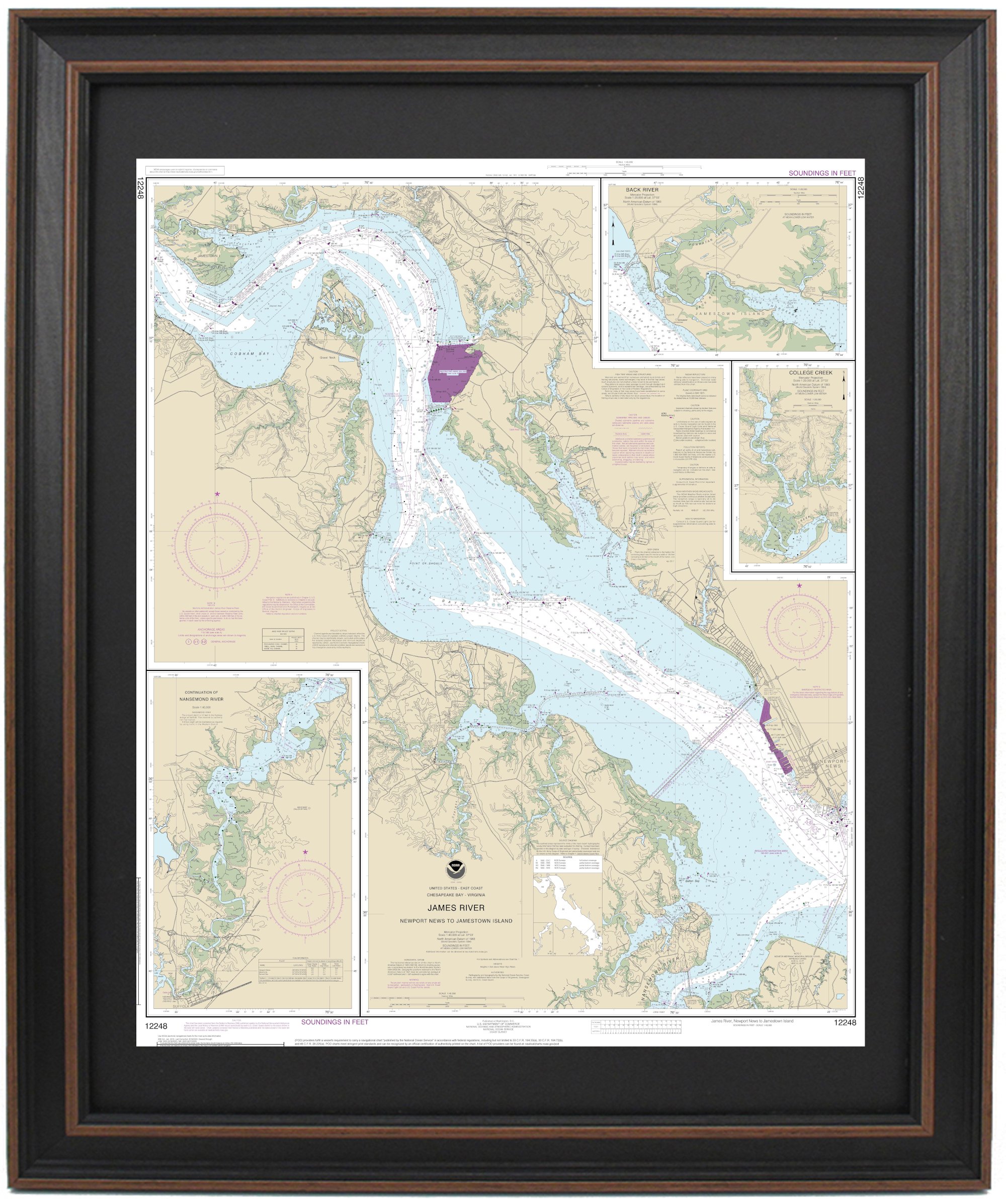
This Framed Nautical Map covers the waters of the James River, Virginia from Newport News to Jamestown Island. The Framed Nautical Chart is the official NOAA Nautical Chart detailing the waterways of the James River including Newport News, Jamestown, and cut-away maps of the Nansemond River, College Creek and Back River.
Product Details:
NOAA Nautical Chart 12248
Standard frame is approx. 24" H x 19 1/2" W
Poster frame is approx. 36" H x 29 1/2" W
Solid Hardwood Frame
Glass Front
Black Matte
Paper Duster Backing with Wire Hanging
Hand Made in USA
Free Ground Shipping*
Each Framed Nautical Chart is custom hand made in the USA. Orders are typically shipped within 2 business days.
James River, Virginia; Newport News to Jamestown Island 12248
This Framed Nautical Map covers the waters of the James River, Virginia from Newport News to Jamestown Island. The Framed Nautical Chart is the official NOAA Nautical Chart detailing the waterways of the James River including Newport News, Jamestown, and cut-away maps of the Nansemond River, College Creek and Back River.
Product Details:
NOAA Nautical Chart 12248
Standard frame is approx. 24" H x 19 1/2" W
Poster frame is approx. 36" H x 29 1/2" W
Solid Hardwood Frame
Glass Front
Black Matte
Paper Duster Backing with Wire Hanging
Hand Made in USA
Free Ground Shipping*
Each Framed Nautical Chart is custom hand made in the USA. Orders are typically shipped within 2 business days.
*Alaska & Hawaii Shipping Surcharge: Due to shipping surcharges by our carriers, orders to Alaska or Hawaii will have a pass-thru shipping surcharge on all orders. Post order, we will determine the shipping surcharge and email the surcharge invoice to you. Upon completed payment of surcharge, your order will be shipped.