


Framed Nautical Map 18653 - San Francisco Bay, Angel Island to Point San Pedro
San Francisco Bay-Angel Island to Point San Pedro 18653
This Framed Nautical Map covers the waters of San Francisco's Bay Angel Island to Point San Pedro. The Framed Nautical Chart is the official NOAA Nautical Chart detailing these waterways in the San Francisco Bay including Angel Island, Point San Pedro, Richardson Bay, Raccoon Straight, Richmond, San Pablo Bay, Berkeley and many other areas.
Product Details:
NOAA Nautical Chart 18653
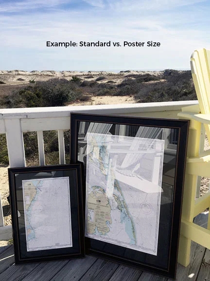
Standard frame is approx. 24" W x 18 3/4" H
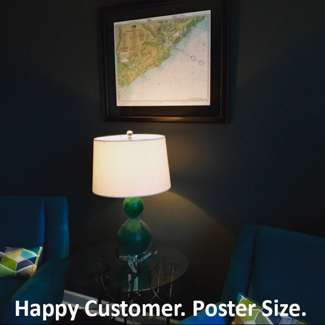
Poster frame is approx. 36" W x 28" H
Solid Hardwood Frame
Glass Front
Black Matte
Paper Duster Backing with Wire Hanging
Hand Made in USA
Free Ground Shipping*
Each Framed Nautical Chart is custom hand made in the USA. Orders are typically shipped within 2 business days.
San Francisco Bay-Angel Island to Point San Pedro 18653
This Framed Nautical Map covers the waters of San Francisco's Bay Angel Island to Point San Pedro. The Framed Nautical Chart is the official NOAA Nautical Chart detailing these waterways in the San Francisco Bay including Angel Island, Point San Pedro, Richardson Bay, Raccoon Straight, Richmond, San Pablo Bay, Berkeley and many other areas.
Product Details:
NOAA Nautical Chart 18653
Standard frame is approx. 24" W x 18 3/4" H
Poster frame is approx. 36" W x 28" H
Solid Hardwood Frame
Glass Front
Black Matte
Paper Duster Backing with Wire Hanging
Hand Made in USA
Free Ground Shipping*
Each Framed Nautical Chart is custom hand made in the USA. Orders are typically shipped within 2 business days.
*Alaska & Hawaii Shipping Surcharge: Due to shipping surcharges by our carriers, orders to Alaska or Hawaii will have a pass-thru shipping surcharge on all orders. Post order, we will determine the shipping surcharge and email the surcharge invoice to you. Upon completed payment of surcharge, your order will be shipped.